Irriget
Satellite support of field crops irrigation
Irriget.com provides precise information on the current crop water requirements in the field. Extensive map functions and intuitive charts facilitate optimal decision-making on irrigation.

COST REDUCTION
By irrigating crops with doses calculated on the basis of the actual water balance you will save time, fuel, energy and you will be able to take full advantage of the irrigation equipment.

YIELD INCREASE AND QUALITY IMPROVEMENT
The satellite-based selection of water doses and periods of irrigation allows for the optimal coverage of the needs of crops and has a positive impact on both quantity and quality of yield.

PRECISE CROP MONITORING
Continuous observation of crops' condition as well as spatial variability of evaporation and water balance allows to properly identify problematic areas in order to take intervention treatments.
WHERE?
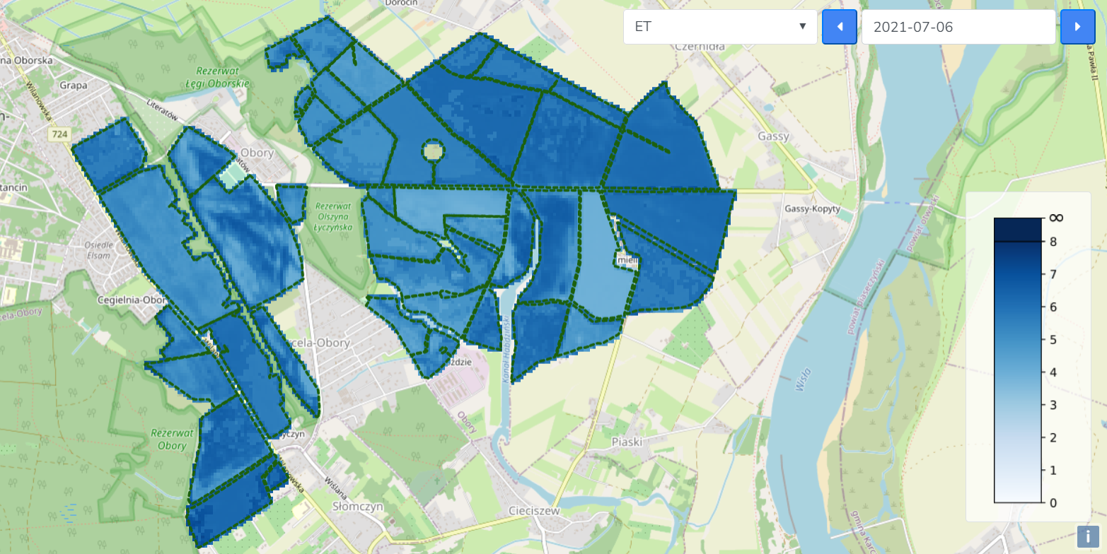
Monitoring of water needs is possible using maps presenting the current condition of crops, actual crop evapotranspiration, water balance and vegetation indices informing about plant stress. This makes identifying urgent irrigation areas easier and more accurate.


HOW MUCH?
The technology developed by our experts allows to successfully determine the water dose necessary to ensure optimal crop development. With just one click you can check the right water dose that should be applied on your field.
WHEN?
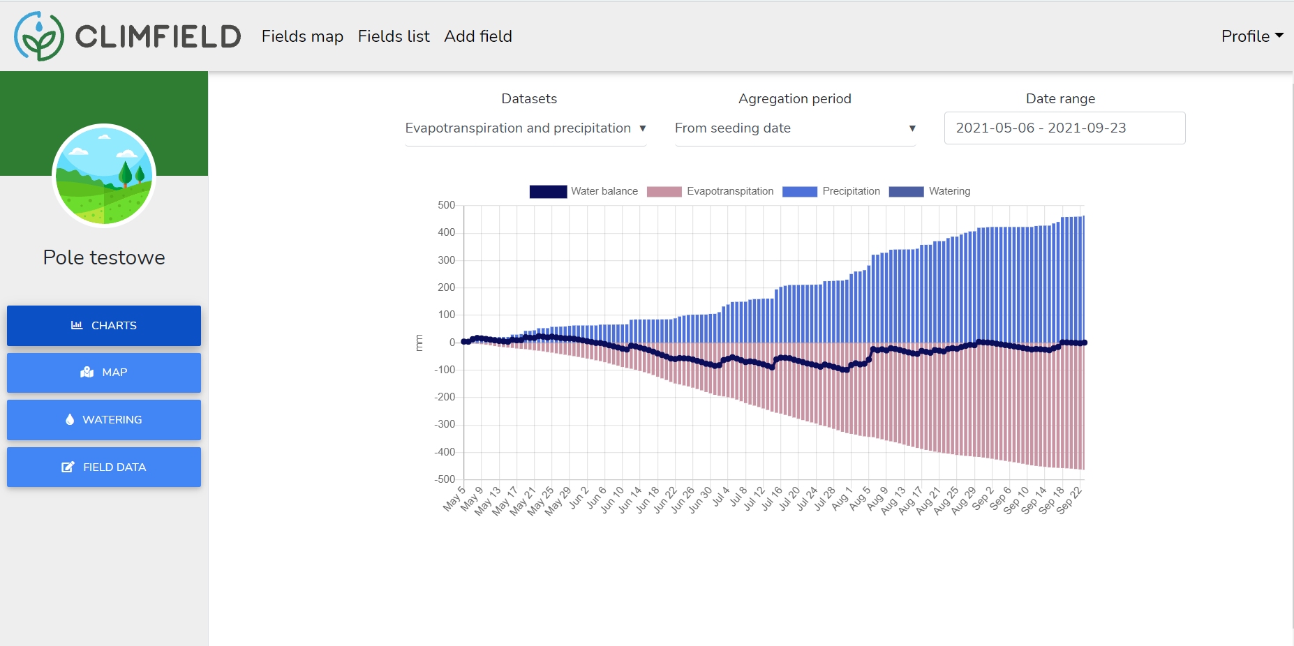
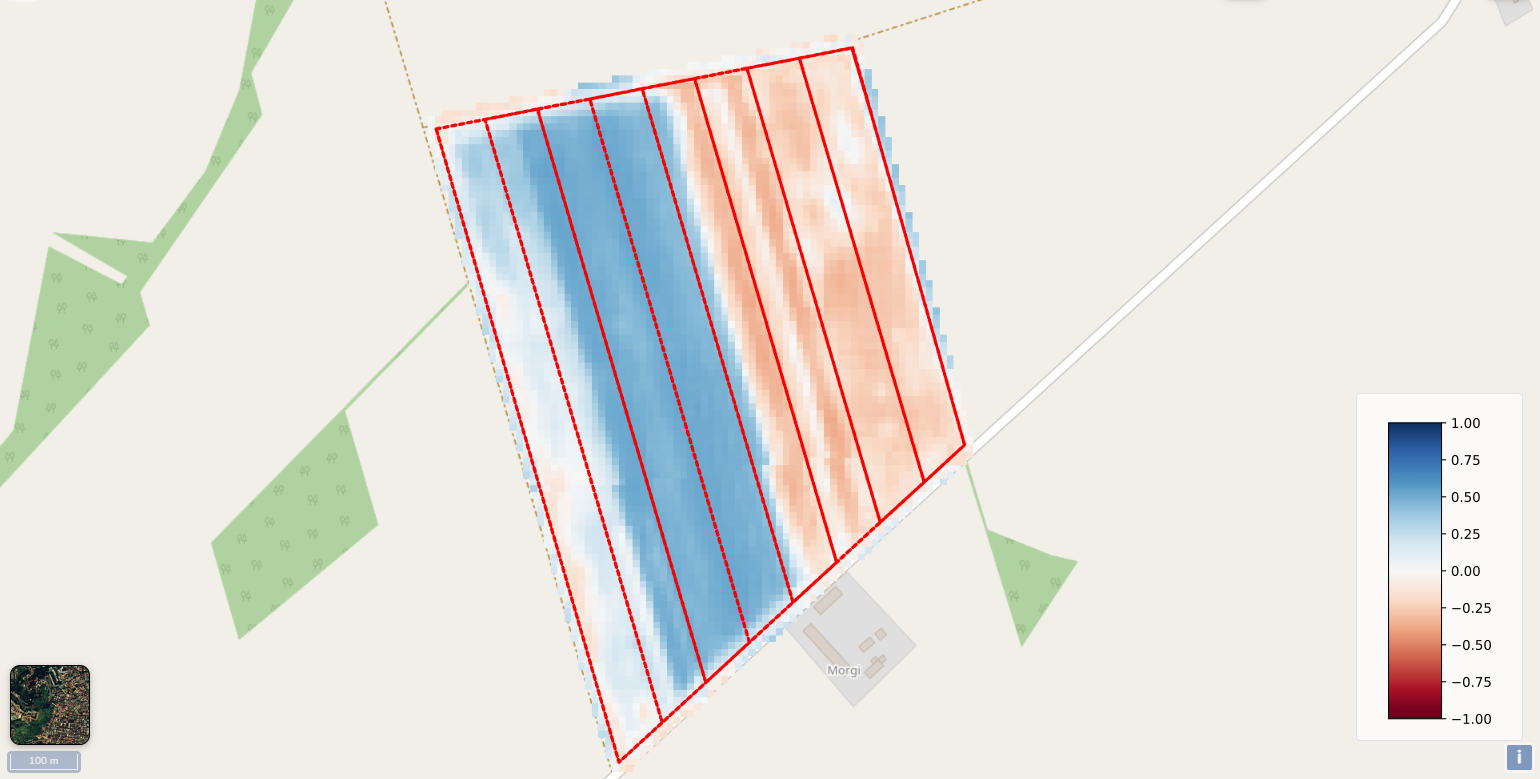
Using data available in the service you can plan the optimal dates of crop irrigation to secure your crops. The possibility to divide the field into zones related to the actual operation of reel irrigation systems allows one to analyze each strip independently and make decisions about the optimal course of irrigation.

Pricing plans
Evaluation
0 zł ha / two weeks
- One field up to 50 ha
- Advanvanced evaporation model
- Satelite crop monitoring
- Email support
Small
1000 zł / year
20 zł ha / year
- Area up to 50 ha
- Advanvanced evaporation model
- Satelite crop monitoring
- Email support
Medium
1600 zł / year
16 zł ha / year
- Area up to 100 ha
- Advanvanced evaporation model
- Satelite crop monitoring
- Email support
- Pemium support
Large
3000 zł / year
12 zł ha / year
- Area up to 250 ha
- Advanvanced evaporation model
- Satelite crop monitoring
- Email support
- Pemium support